
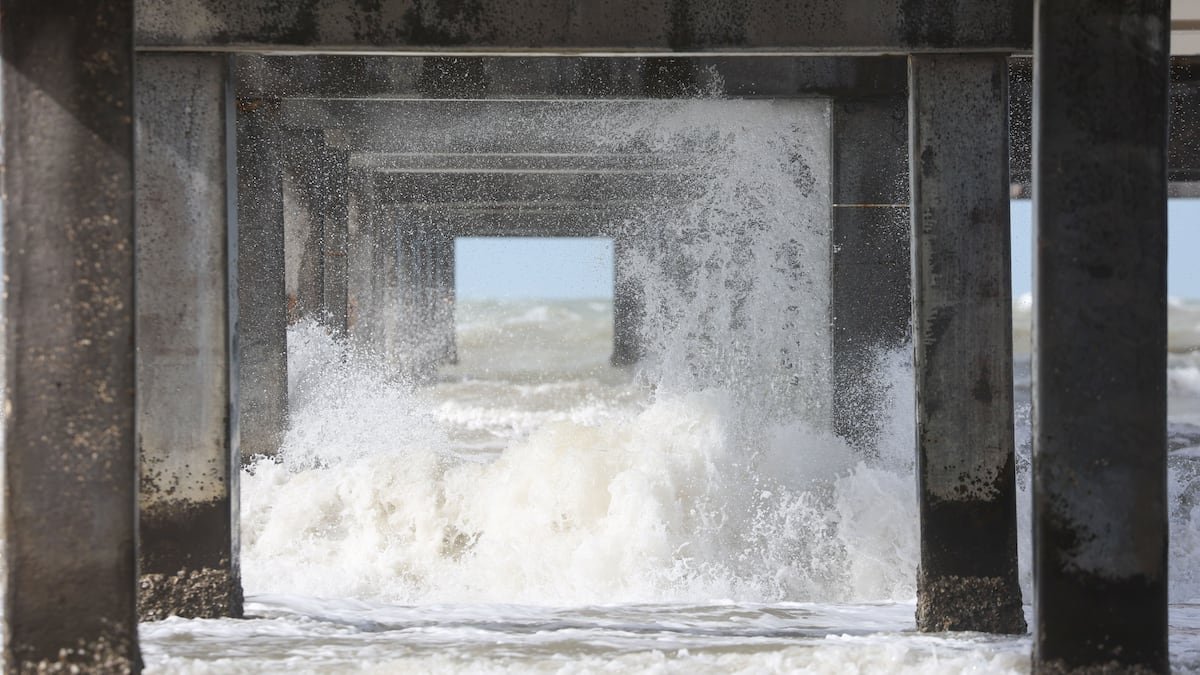
Hurricane experts piecing together what the upcoming storm season may hold for Florida have been looking for clues in an ocean thousands of miles away.
This month, federal scientists said it’s more likely than not that an El Niño will form in the Pacific Ocean by peak hurricane season. The weather pattern, which is unfavorable to Atlantic hurricanes, should persist through the end of the year, they said.
The prediction could bode well for Floridians who were spared last year after a string of major storms walloped the Gulf Coast in 2023 and 2024.
Researchers at Colorado State University, a leading hurricane forecaster, said they are anticipating a “somewhat below-average” season, largely due to the likely presence of a strong El Niño. Its potential strength is still up for debate, experts said.
The coming atmospheric shift could bring a “super El Niño,” according to most models. At least one model expects it to be record-breaking.
But experts said it was too early to tell — spring forecasts of this weather cycle are historically inaccurate.
“El Niño is coming. But how strong, how quickly, and how it then relates to how quickly the shear comes in … is more of the big question,” Phil Klotzbach, a senior research scientist involved in the Colorado State University forecast, said in a presentation in April.
What is an El Niño?
The year-to-year global climate pattern unfolds in three phases: El Niño, La Niña and a neutral stage.
The cycle corresponds to changes in sea surface temperatures in the Pacific Ocean that affect weather across the globe.
Forecasters at the federal Climate Prediction Center said La Niña had transitioned to neutral conditions in April. The center assigned 82% odds to the emergence of an El Niño sometime between May and July. By winter, forecasters expect a 96% chance that the weather pattern will form and persist into next year.
Peak hurricane season typically runs mid-August to mid-October, with the bulk of activity flaring up toward the end of the season.
Hurricane seasons that coincide with El Niños typically have increased vertical wind shear that tears down hurricane strength. A stronger El Niño typically means stronger wind shear.
Forecasters have compared the upcoming season to previous ones in 2006, 2009, 2015 and 2023, when a strong El Niño and warm water temperatures worked against each other. In three out of four of those seasons, hurricane activity was below average.
But 2023 turned out to be the fourth-most-active Atlantic hurricane season on record. Hurricane Idalia grazed the Tampa Bay area, bringing devastating flooding to low-lying communities.
“Having an El Niño is no guarantee that you’re going to not see a storm that’s going to hit you, and Tampa should pay attention to the fact that 2023 was a year anticipated to be similar to this year,” said Jeff Masters, a writer at Yale Climate Connections and former Hurricane Hunter meteorologist with the National Oceanic and Atmospheric Administration.

A ‘super’ El Niño?
Since 1950, only five El Niño cycles have reached “super” status for a three-month period, Masters said.
While “super” is far from a technical term, it typically refers to an El Niño that carries water temperatures that are 3.6 degrees Fahrenheit warmer than average.
“The westerly winds we’re seeing now are as strong as we’ve ever seen, if not stronger,” Masters said in April. “So that’s a strong signal that we’re going to be looking at El Niño this fall.”
A European model is forecasting average sea temperatures in the Pacific would be close to 4 degrees Fahrenheit above normal later this year, resulting in a potential record El Niño for August through October, according to Jeff Berardelli, chief meteorologist at WFLA News Channel 8.
That could mean the Caribbean remains “bone dry” during peak season — welcome news that would possibly fend off hurricane formation — but the region eventually becomes wetter and stormier as winter arrives, he said in a video posted on social media.
“Relatively speaking, the Pacific is going to outweigh and suppress the Atlantic during hurricane season, so we’ll probably see a somewhat — cross your fingers — inactive hurricane season,” he said.
But El Niño-La Niña cycles are hard to predict this early. Federal researchers are wary of what they call the spring predictability barrier, when they come up against a lull in forecast accuracy. The fog typically lifts by summer, and outlooks for the rest of the year become more clear.
While the latest federal outlook is showing a strong chance that an El Niño will soon arrive, a lot can still change.
“When you’re in a period of very rapid change, forecast models aren’t going to be very reliable about what’s happening next,” Masters said.
What could it mean for hurricane season?
El Niño flexes its muscles most on storms that are developing later in the hurricane season, which tend to spin up in the Caribbean, according to Klotzbach, the Colorado State University researcher.
An El Niño typically gets stronger the longer it drags on. That means it could cut a hurricane season short.
With a strong El Niño likely in the cards, higher wind shear could ramp up toward the season’s end, which might help deteriorate stronger storms before they have a chance to grow into major hurricanes.
Storms forming in the Gulf of Mexico tend to be less affected by an El Niño than storms forming in the Caribbean and in the tropical Atlantic, Klotzbach said.
“There isn’t a huge reduction expected in storms forming in the Gulf,” he said. “But when you get a moderate-strong El Niño, it does reduce the frequency of storms forming in adjacent regions (like the Caribbean) that then track into the Gulf.”
Klotzbach cautioned in April that just because a strong El Niño is being forecast, it’s “not a slam dunk” that could guarantee fewer hurricanes. It depends on the timing of when it arrives.
He pointed to the 2004 hurricane season as an example: That year, a weak El Niño began in August, but its delayed arrival meant an above-average spate of storms, including four hurricanes that affected Florida: Charley, Frances, Ivan and Jeanne.
As hurricane experts frequently point out, it only takes one landfall to devastate a community.
• • •
A previous version of this story ran in the Tampa Bay Times.
The Tampa Bay Times launched the Environment Hub in 2025 to focus on some of Florida‘s most urgent and enduring challenges. You can contribute through our journalism fund by clicking here.