
The Plains are facing a severe weather threat that’s expected to become more significant through the afternoon and evening hours. Storms will bring large hail, damaging winds and even the possibility of tornadoes to Nebraska, South Dakota, Kansas and Oklahoma.
MONTANA – The potential for a month’s worth of rain to fall in just two days is fueling a widespread flood threat across Montana, where vulnerable burn scar areas and ongoing spring snowmelt could heighten the risk of flash flooding through Monday.
Days of severe weather may be fading into the rearview mirror, but the storm system responsible isn’t done yet. Instead, it’s gearing up for a dangerous second act, with heavy rain and flooding.
ATLANTA FLOODING CONTRIBUTES TO ‘UNPRECEDENTED’ NUMBER OF DEAD FISH IN GEORGIA RIVER
Starting Saturday and lasting through Monday, an upper level area of low pressure will move over the Northern Rockies to the High Plains region on Saturday – putting western Montana within an area that will tap into an exceptionally deep plume of moisture.
This common spring storm setup leads to heavy rain across Montana, and this time will be no different.
Forecast confidence is growing that multiple inches of rain, combined with spring snow melt, will be a threat, triggering the placement of Flood Watches.
 Weekend Flash Flood Threat.
According to the FOX Forecast Center, “a reasonable worst-case scenario” brings 3.5 to 4 inches of rain to areas along and west of the Interestate 15 corridor across north-central Montana.
KNOW YOUR FLOOD TERMINOLOGY: WHAT FLOOD WATCHES, WARNINGS AND EMERGENCIES REALLY MEAN
While that may not seem like a ton of rain, especially to those in the Pacific Northwest, Montana typically only sees 2 to 3 inches of rain per month in May and June. There is a high chance that places including Missoula and Great Falls could see a month’s worth of rain with this storm.
Great Falls, Montana, average monthly rain totals.
This isn’t an anomaly. According to the FOX Forecast Center, 2 inch rainfalls across a two-day period happens about every 2 to 5 years in the Great Falls area.
Flash Flood Watches have also been issued for vulnerable burn scar areas, including the areas impacted by the Elk, Robertson Draw and the East Side wildfires into Saturday evening.
HOW TO WATCH FOX WEATHER
While the risk for flooding remains low overall, concerns for localized areas near stationary thunderstorms and heavy rainfall, especially in the burn scar areas.
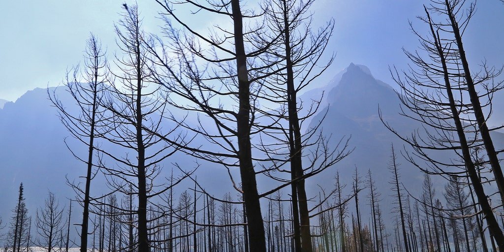
Several burn scar areas in Montana, left vulnerable by past wildfires, face a heightened risk of flash flooding as heavy rain sweeps across the state.
(Dennis Anderson/Star Tribune via Getty Images / Getty Images)
With potentially months-worth of rainfall and vulnerable burn scar areas sealing the threat, that isn’t the only concern.
While spring temperatures have melted out the seasonal snowpack for many mountains in the region, there are a few areas along the divide that do have snow, especially Glacier National Park. Snowmelt is another factor that could raise flood concerns for rivers.
Current river forecasts for Saint Mary and the Sun River are expected to go into flood stage late Sunday into Monday – though forecasts are heavily dependent on the precipitation amounts and could change before then.